Posted on

Bro Ffestiniog Nature Map

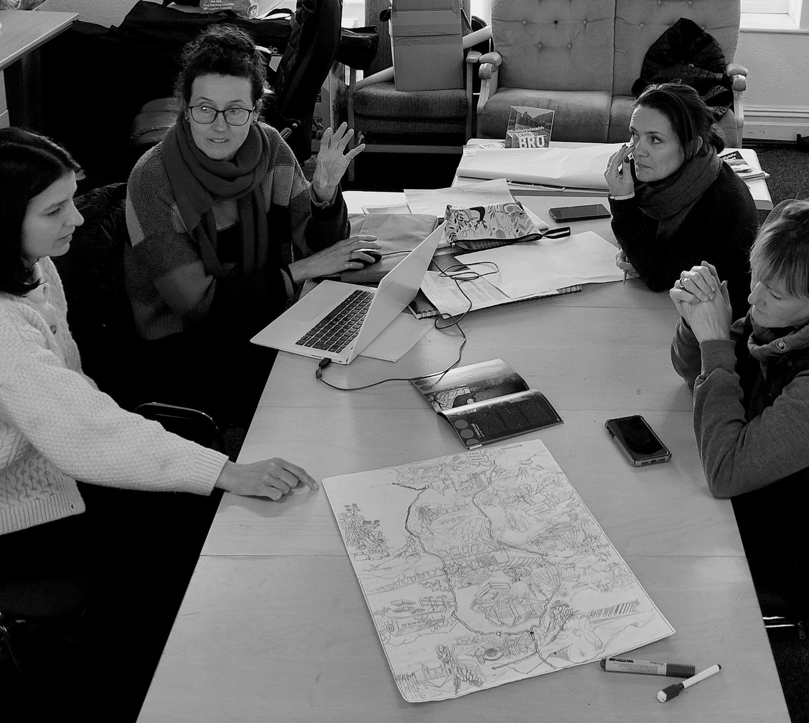
GwyrddNi, in collaboration with Cwmni Bro Ffestiniog and Y Dref Werdd, have commissioned the creation of a unique map that highlights ten special community and nature spaces in Bro Ffestiniog.

This map will invite residents and visitors to explore these locations in a deeper way, with one side featuring artistic interpretations of each space by a local artist, and the other offering written interpretations in the Welsh descriptions by a local writer. An English translation encourages engagement with the Welsh language to support learning, using and experiencing Welsh and place.

The map aims to support and encourage people to connect to their community, celebrate and value moments of nature.

It’s a new way to experience Bro Ffestiniog—whether you’re an artist, curious about nature, or about language.

Stay tuned for its launch, community trips and events in these urban/rural nature spaces.

Contact ffestiniog@gwyrddni.cymru to find out more!

Posted on

Mapping Dyffryn Ogwen

In the Dyffryn Ogwen Community Climate Action Plan, the community stated that they wanted:

“An online map to promote environmental projects to local individuals, businesses, organisations
and tourists, with a page that shows the environmental activity of local companies.”

The idea of ​​this map/website is that anyone would be able to contribute easily, with links to local walking routes, sites of local interest and information about nature and biodiversity.

The idea is now starting to come to life through collaboration with Wild Resources. A grant from Partneriaeth Natur Gwynedd (Nature Partnership) will fund the technology behind an interactive map, which will include places of environmental and cultural importance in Dyffryn Ogwen. Different layers will show walking routes, nature sites etc.

People will be able to contribute to the mapping by including their favourite tree, places that are special to them, or pictures of the things they find. Sustainable businesses and local environmental projects can also be included on the map.

Local folk stories, which were captured by the Lleisiau Lleol (Partneriaeth Ogwen) project, will also be connected back to the map.

To find out more about the project or to be part of bringing it to life, contact chris@ogwen.org

Posted on

Clearing Himalayan Balsam

Himalayan Balsalm is a widespread invasive species in Britain. It is very damaging, causing riverbank erosion, and forming dense stands that increase the likelihood of flooding and reduce or prevent native plants, as well as negatively impacting other biodiversity (more information from the Wildlife Trusts).

It competes with native plants, drawing pollinators away from them. Himalayan Balsam produces and disperses seeds very vigorously, which makes it very invasive.

One of the ideas from the Dyffryn Peris Climate Action Plan was “Start mapping the invasive species (e.g. Himalayan Balsam) and who is doing what about them already”.

This was part of the wider Dŵr a Thir (Water and Land) working group, who have the following aims:

  • Increase knowledge of what is here already, identifying and mapping habitats, biodiversity and invasive species to guide our approach.
  • Take a place by place approach, avoiding ‘blanket solutions’ and working with landowners to create a patchwork of responses suited to place.
  • Support the flourishing of habitats, species of plants, trees + animals in the right places for biodiversity, flood management and food production.

The solution?

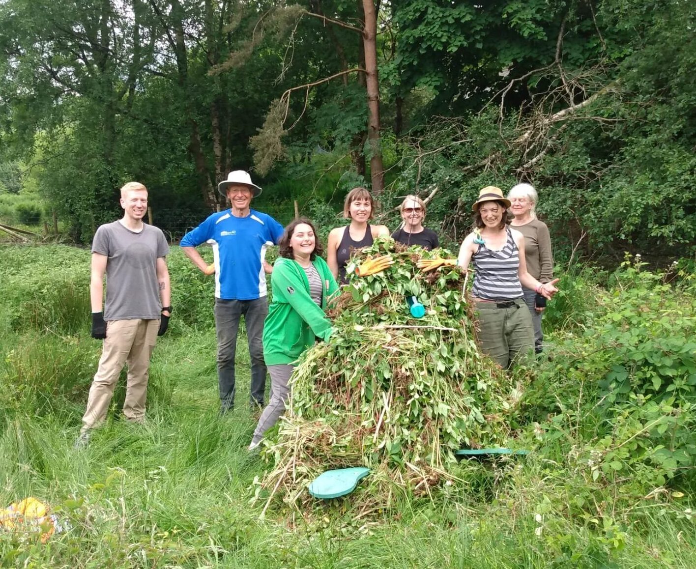
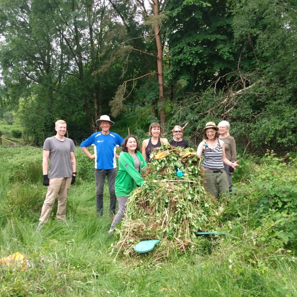
Himalayan Balsam is being mapped with the “INSS Mapper” app, community leaders are being trained and we are organising regular ‘pulling’ days over the spring and summer each year.

We have been working with landowners, the community and schools in Dyffryn Peris to work towards these goals. Voluntary efforts are focusing on high ground near Afon Hwch and Afon Caledffrwd to start with, and working down from those places.

In April 2024, Himalayan Balsam Clearing training was organised with Cymdeithas Eryri (Snowdonia Society) for 9 people to learn how to lead clearing groups safely and effectively.

Here is a video from June 2024 with the children of Ysgol Dolbadarn, Llanberis who filled 4 tonne sacks of Balsam!

Want to be a part of this? Contact Lowri on peris@gwyrddni.cymru

Posted on

Mapping Moss

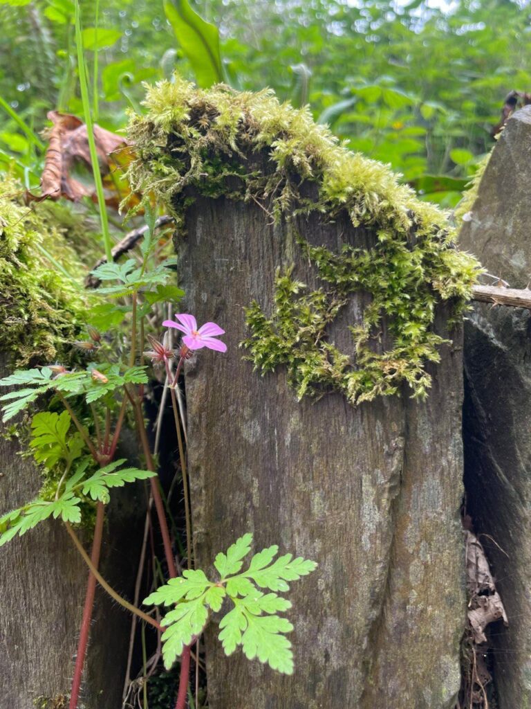
As well as aiming to encourage people to slow down and notice the natural world around them, the Mapio Mwsog projects aims to record and store information about mosses and liverworts in Dyffryn Ogwen. This will help provide a baseline for future monitoring and to track changes over time, providing valuable insights into the ecosystem’s health and resilience.

Officially launched on October 21st, 2023, National Moss Day, the Mapio Mwsog project began with a moss walk in Bethesda. Led by Emily Meillieur and supported by Alys Wardle, Emily Farrell, and Catharine Moss, the walk attracted 35 eager participants, who were not deterred by the heavy rain and spent time studying the rich diversity of bryophytes (which covers moss, liverworts and leafy liverworts) growing on trees, rocks, and walls.

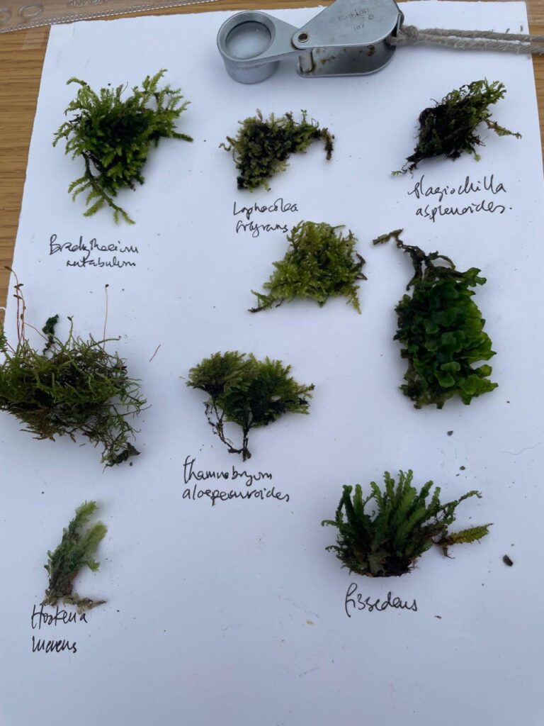
Following the project’s launch, the Mapio Mwsog team have been taking people on regular moss walks to study the mosses in the valley, as well as organising art days where both adults and children collect moss samples and use them to inspire poetry and art based on what they see and feel.

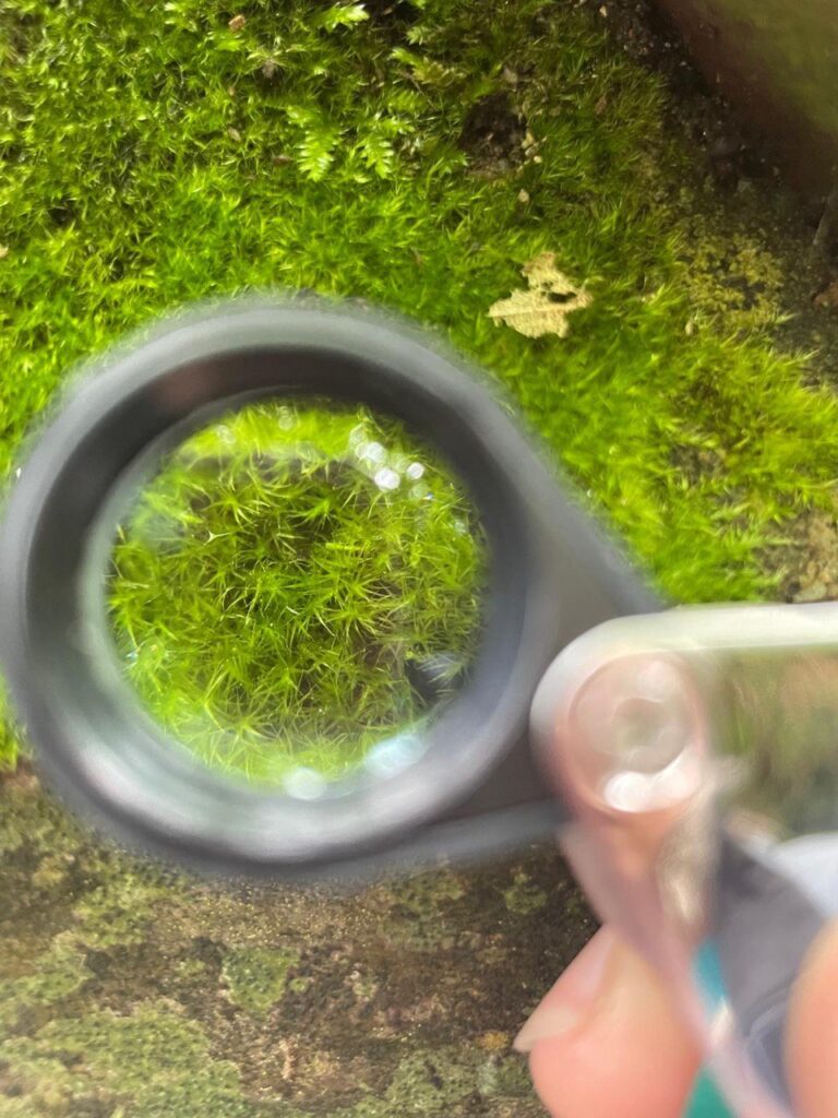
Starting with nine specific points in Dyffryn Ogwen, the Mapio Mwsog team will record and survey mosses and liverworts – with hand lenses, microscopes and the naked eye. Partneriaeth Ogwen and GwyrddNi will be supporting and promoting the project alongside the moss team.

Read more in this blog post: https://www.gwyrddni.cymru/en/moss-mapping-in-dyffryn-ogwen/

If you want to find out more about the Mapio Mwsog project, to get involved or to join a moss walk, get in touch via Chris, the GwyrddNi Community Facilitator for Dyffryn Ogwen (chris@ogwen.org).